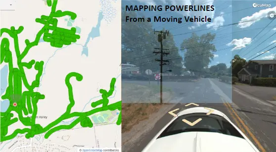
Related article here: Drive-By-Imagery to help you locate and assess your powerline network
The Challenge
The client is responsible for maintaining and modernizing an electric utility grid that spans across multiple geographic areas. In this case, it was an estimated 30,000 circuit miles that needed to be located on the fly. Features to be located included poles, ID tags, phase markers and equipment on pole. Many of these circuit miles were offroad and a GIS study must be conducted to determine number of miles on road vs offroad. Data must be captured within 30 days.
The Solution
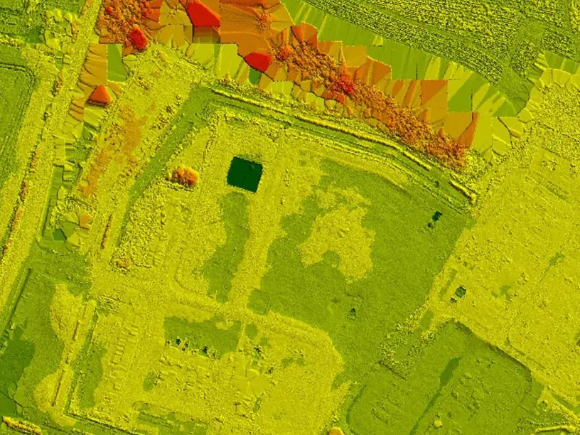
Reality IMT deployed mobile mapping vehicles with omnidirectional cameras and RTK GPS to capture the data. Areas that were in accessible were captured with an ATV. The collected data was transferred back to the office on daily basis to help the data processing team get to work on it immediately.
Once the data processing team completed their QA/QC, the data was then uploaded to the cloud to help the GIS team access all the imagery at the same time. All features were tagged inside of OcuMap then exported into ESRI ArcGIS where geodatabase file was updated based on location and the SAP ID.


The Results
80% of the Circuit miles were mapped and an up top date GIS database was generated to help the client enhance their grid based on real-life data. It would have taken 2 years to complete such effort had it not been for Reality IMT applying this cutting-edge mapping technology.