Using LiDAR to model the risk in flood insurance
In February 2020, the Mississippi reached flood levels that had not been seen in more than 35 years. In the face of the environmental disaster, the helpless Mississippi Gov. Tate Reeves could only say that “we do not anticipate this situation to end anytime soon. It will be days before we are out of the woods and the waters recede.”
According to the World Economic Forum’s 2020 Global Risks Report, a number of climate ‘tipping points’ are being reached. As politicians cripple all efforts to combat climate change, environmental destruction is likely to become more severe. In fact climate change is already beginning to manifest itself earlier than many scientific predictions made in the past decades as witnessed in Mississippi.
Of all the natural environmental risks facing us, flooding is perhaps the biggest and most visible threat. In the US flood forecasts are made by the National Weather Service. Unfortunately these forecasts are severely limited in their spatial granularity because they only make predictions about a few specific points of interest. Therefore if a building does not fall within the specific point of interest, the forecast is not very useful and it is not possible to assess whether the building is in danger of being flooded.
Statistics show that despite the heightened flood risk, nationwide only about 20% of American homes have flood insurance. A major reason is that most private insurers do not offer flood insurance. This is because flood risk is difficult for insurance companies to model and manage. As a result there is a significant gap in the ‘insurance flood’ protection market.
In order to succeed in the challenging flood insurance market, insurers will need to use innovative technology because the traditional approach of using historic flood claims does not work; neither do the existing flood maps. Why? Well because the existing flood maps, including those published by the federal government are hopelessly outdated. For example in June 2019 homes across the central U.S. were underwater. But the federal government’s flood insurance maps, showed that many of these homes were in the so called ‘areas of minimal flood risk’.
LiDAR Technology
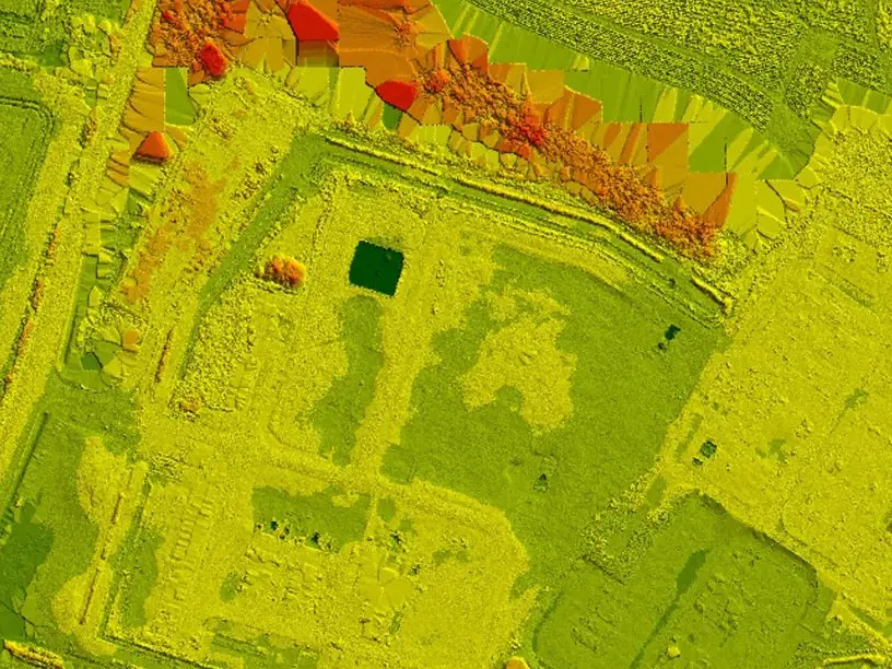
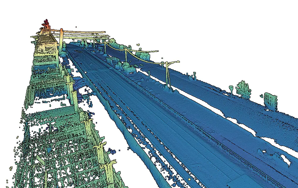
One technology flood insurers need to use is commonly referred to as ‘LiDAR’. LiDAR is a remote sensing technology that uses laser pulse to create three-dimensional images and maps. This is the technology underpinning the driverless car. But how does LiDAR assist insurers in flood mapping? Insurers previously had to rely on manually collected elevation data to simulate floods across a floodplain. The manual nature of the data collection meant that the scope of the coverage was limited with just a few cross-sections across the entire flood plain. Using LiDAR mapping technology detailed flood maps can now be constructed to generate cross sections at any location and calculate elevations and slopes with up to + or – 3 cm in accuracy.
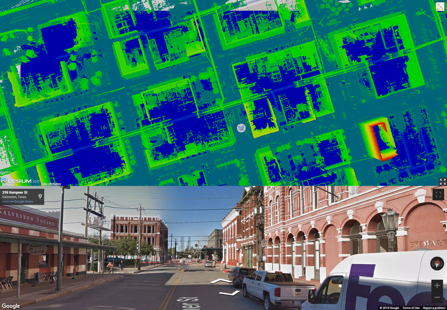
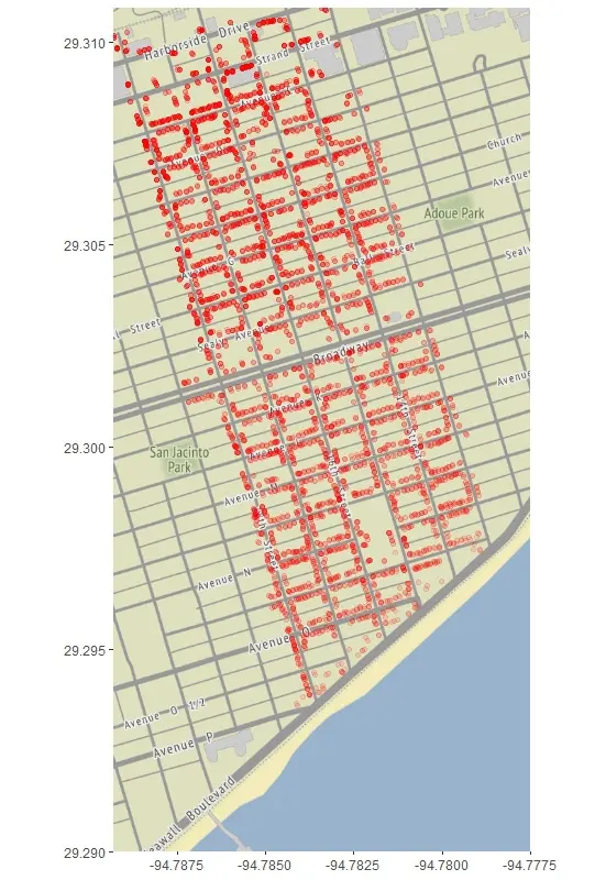
Flood Risk Heat Map Sample
Let’s look at a flood risk heat map for Galveston, Texas created by Reality IMT for FEMA in 2019 using LiDAR technology. The red dots represent the risk of coastal flooding – the darker the red the higher the risk of flooding. The flood risk generally increases as you move away from the coast in Galveston suggesting that the inner areas are relatively lower lying than the coast line and therefore have a higher flood risk. However as we move inland the LiDAR heat map shows that the flood risk is not uniform and varies considerably even for adjacent points on map. Needless to say an insurer equipped with this level of detail can price the flood insurance with a lot more confidence.
Flood Risk Continuous Assessment
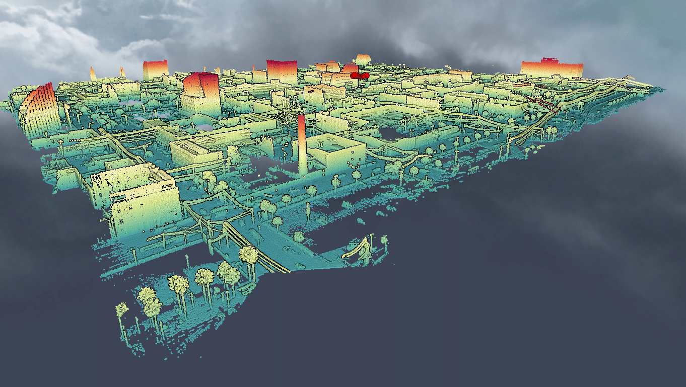
However even the latest technology can be defeated by nature. For example flooding risk for a location can change because of construction activity. Therefore to remain effective the flood maps must be updated on a regular basis. This is where LiDAR technology is even more efficient: using a mobile truck, Reality IMT collected the LiDAR measurements needed to create this flood map in under 30 minutes!
Do you have questions about Lidar flood elevation studies?
we’re passionate about how this technology is transforming the way surveying & mapping are done and would love to discuss the details with you.