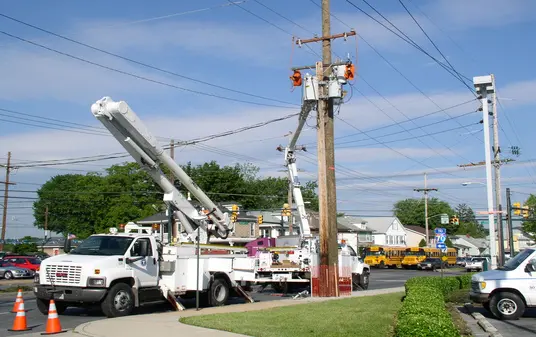
3D Mapping Software
Map your infrastructure projects
like a pro
Infrastructure documentation & assessment that will boost efficiency by 30% and align project stakeholders by 80%
Locate above ground Assets Directly from GPS images and videos
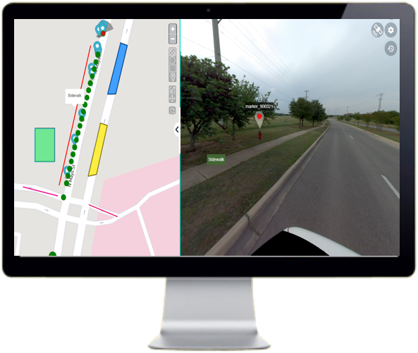
Simply drag and drop your GPS Photos to see them on the map
- Annotate what matters to you
- Extract feature location directly from photos
- Share with project stakeholders for enhanced collaboration

Optimize Project Documentation & Make Better Decisions
Inspect and Plan Infrastructure maintenance from your desktop
Deploy maintenance resources efficiently, and increase productivity to drive high-performance operations.
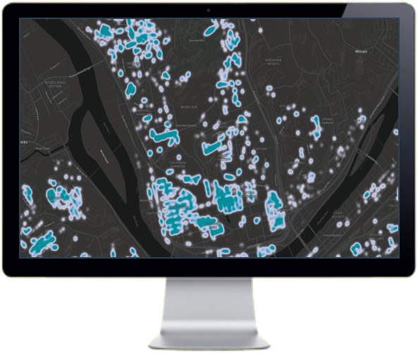
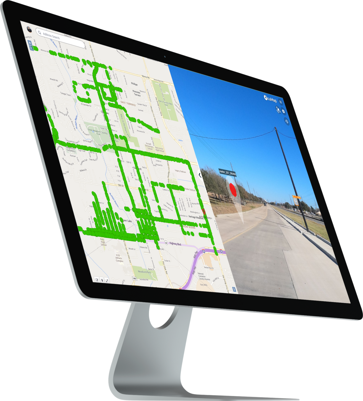
Generate Asset Inventories directly from photos
Building an asset inventory is the key to data-driven infrastructure operations. Use OcuMap to generate picture-based asset inventories of your critical infrastructure
Built to securely handle terabytes of photos and map data
Big Data can now be quickly visualized on the map and securely shared across your organization with ease. All data in transit and at rest is encrypted using TLS with modern cypher sets. OcuMap is compliant with:
- SOC 1/ISAE 3402, SOC 2, SOC 3
- FISMA, DIACAP, and FedRAMP
- PCI DSS Level 1
- ISO 9001, ISO 27001, ISO 27017, ISO 27018

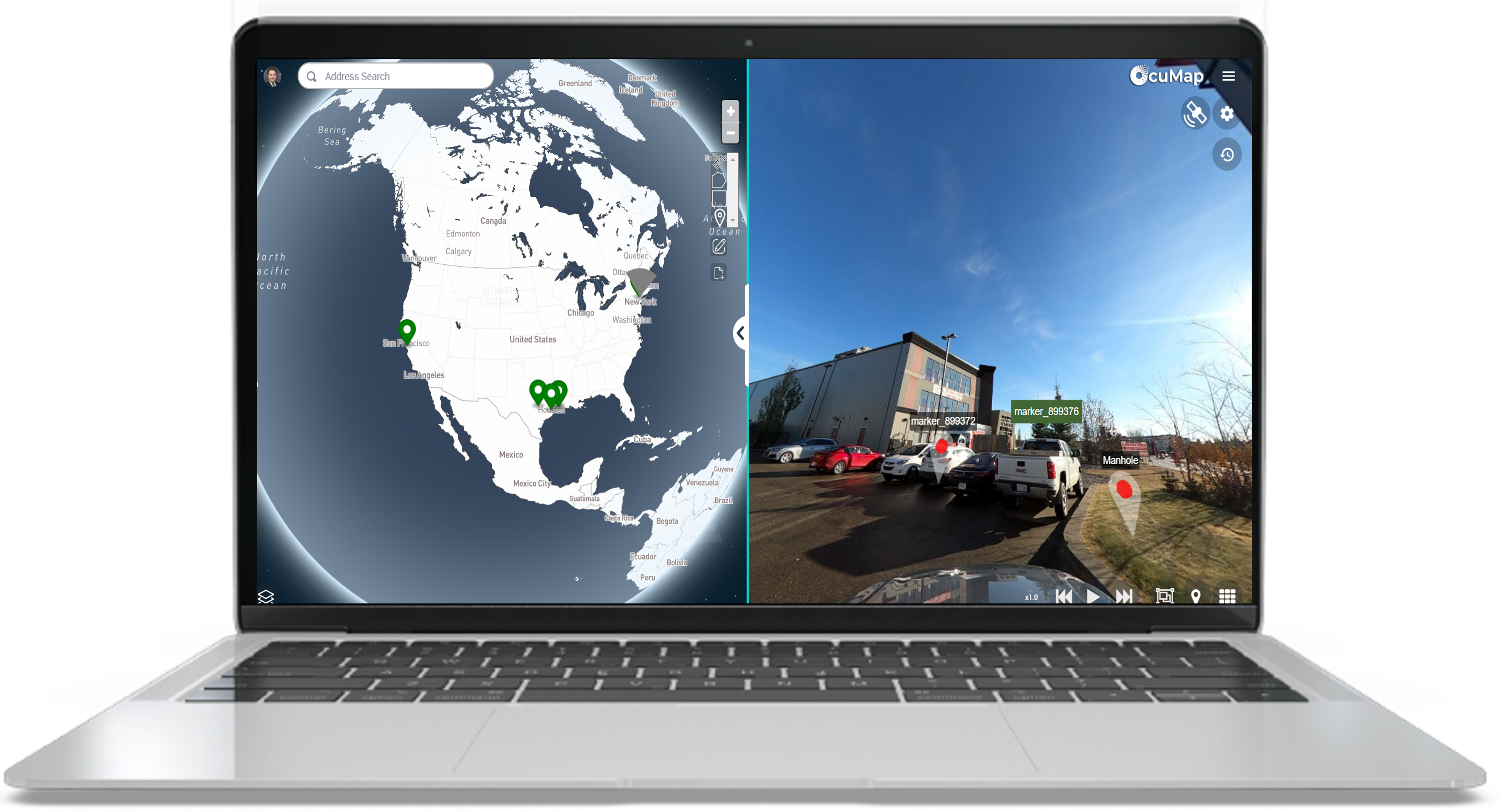
A single dashboard for visual asset mapping
With OcuMap, you can map you project images, videos, drawings and 3D Models with a single platform. Simply upload your project files–See them on the map and start working smarter.
At-a-Glance Benefits
Reduce rework by 30%
Reduce cost by 23%
Increase inspection efficiency by 40%
Reduce project duration by 18%
OcuMap helped us locate assets within the ROW using panoramic images, a job that would not have been possible otherwise.
William B.
CEO, Reflective Light Science
its very amazing being able to quickly and easily look at the commercial buildings we manage on a map including all property information. We can never go back to the old ways
Phil A.
CEO, Summer Ventures
The video map provided us with intelligent visual information to be used as a reference for planning, and as a baseline for comparison with future assessments.
Rod P.
Deputy Director, The City of Houston
NC DEQ DMS utilizes Ocumap to display 360 degree videos of stream and wetland mitigation sites in concert with spatial data.
Melonie A.
Credit Release & Close Out Supervisor, NCDEQ
OcuMap gave us a single source of truth for our projects, our maps, drawings and images were all in one location to help us plan logistics with our Rail contractors.
Rory N.
Project Manager, D.E.C
its very amazing being able to quickly and easily look at the commercial buildings we manage on a map including all property information. We can never go back to the old ways
Summer Ventures
Providing insight and maximining efficiency to hundreds of beloved customer. OcuMap is utilized by


Frequently Asked Questions
OcuMap is an innovative mapping platform that helps you combine Reality Capture (images), GIS (location) and BIM (3D) to better manage your projects, optimize operations, and make more informed decisions.
OcuMap is used by:
Project Managers who need visual documentation of their infrastructure projects.
GIS experts who need to extract features directly from imagery.
City Planners who need better understanding of the streetscape
Right of Way Engineers to plan maintenance.
Civil Engineers to Assess Roadway Damages
Environmental Scientist for NEBA
OcuMap can be used in many different industries, whether in engineering and construction, petroleum, roads, transportation, or local government
You can use any GPS-enabled camera. OcuMap supports .mp4 video files and .jpeg image files. If you are recording video with GPS, make sure you can export a GPS data file out of the camera in simple text format (txt, csv, xml) or GPX.
Create an OcuMap Account
Start visually mapping your data now with a 14-day free trial.
“The video map provided us with intelligent visual information to be used as a reference for planning, and as a baseline for comparison with future assessments.”

The City of Houston
Rod P. Deputy Director
Contact us
"*" indicates required fields


