
3D Measurements, Documentation, and Mapping Services
for Architects, Engineers & Infrastructure Managers
Our 3D scanning and LiDAR Mapping can quickly and accurately capture detailed measurements and dimensions of existing structures without disrupting operations.


Industries

AEC

Oil / Gas, Energy & Chemical

Roadways & Utilities

Railroad & Transit


I had the buildings on my property scanned by Jonathan from Reality IMT. He was very knowledgeable and easy to communicate with. After the scanning was completed I received the 3D drawings within a few days. Great pleasure to work with these guys and would absolutely do it again.

L. Herrington
Owner
Reality IMT’s professionalism and customer care are “WOW” factors. They produce a quality product based on the agreed upon deliverable and it is done well within the allotted time frame. Great service, quality work! For as-built work, I don’t know why anyone would go anywhere else.

L. Cunha
ROW Engineer
Reality IMT was a great pleasure to work with. They were highly recommended to us and we saw exactly why. They are definitely the top in terms of their knowledge, professionalism, attention to detail, and service. We will definitely work with them again!

J. Patel
Facility Manager
Technology
3D Laser Scanning
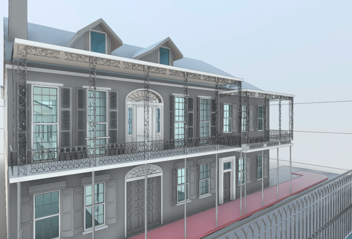
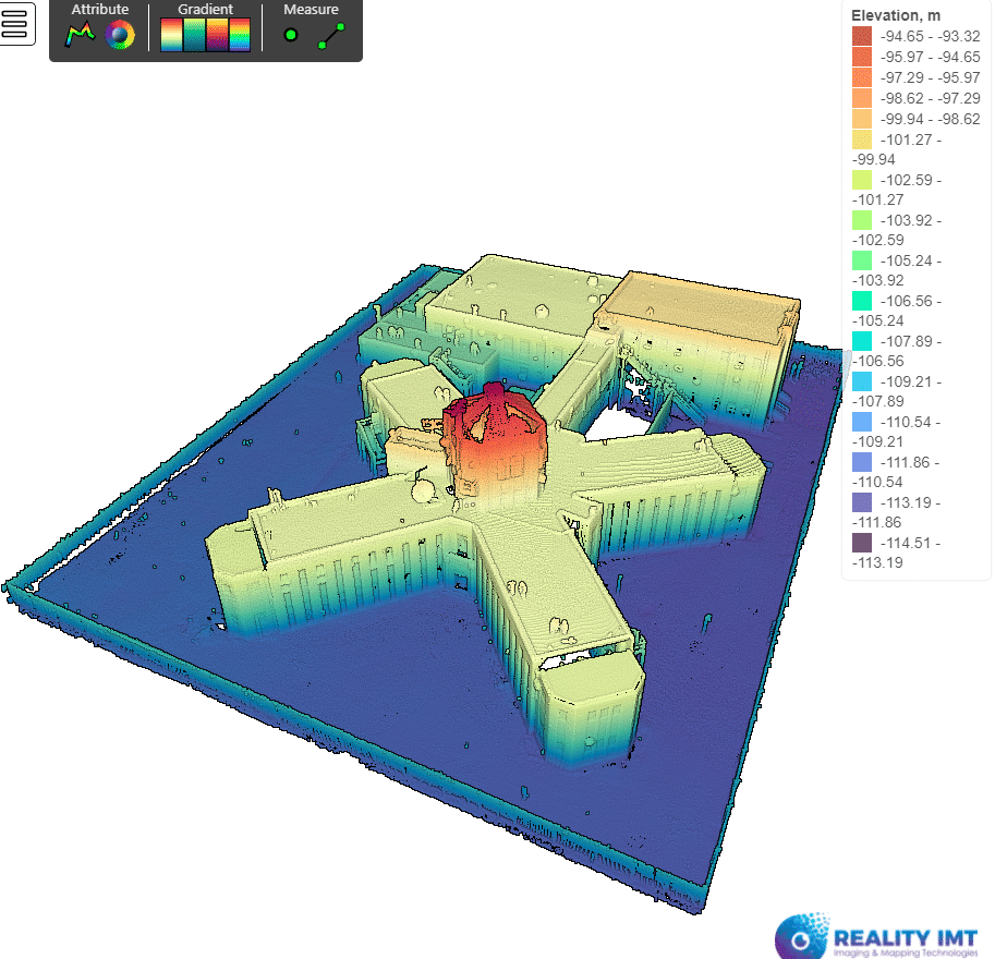
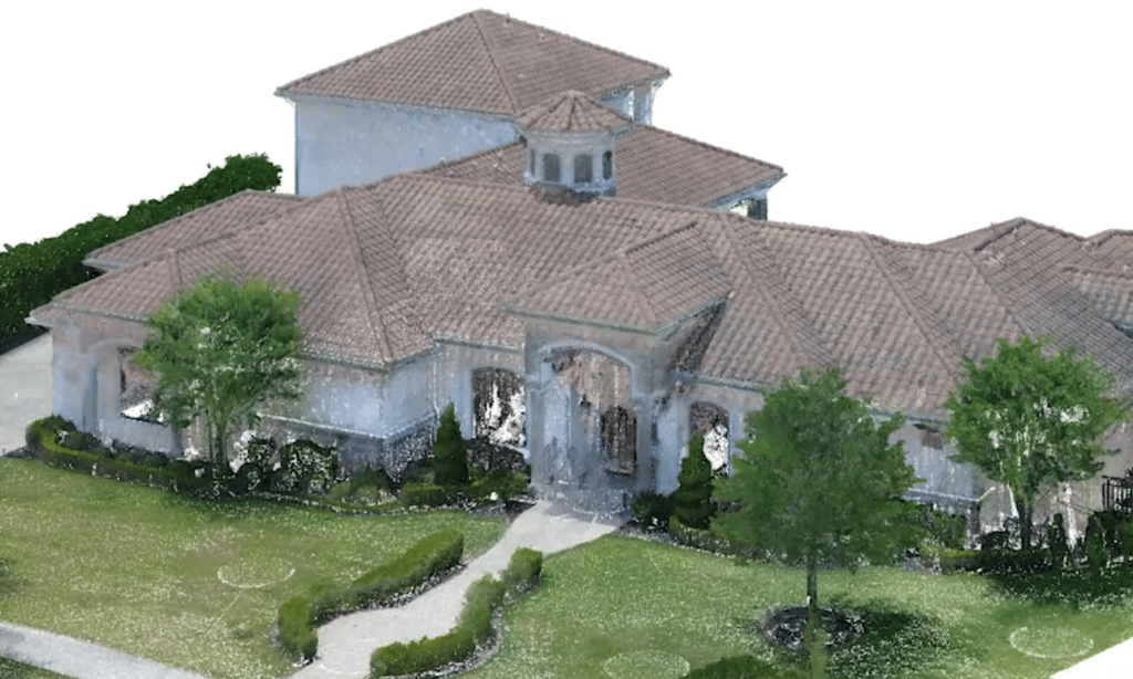
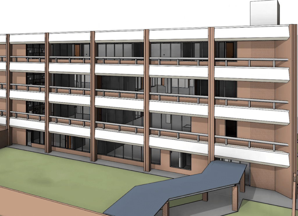
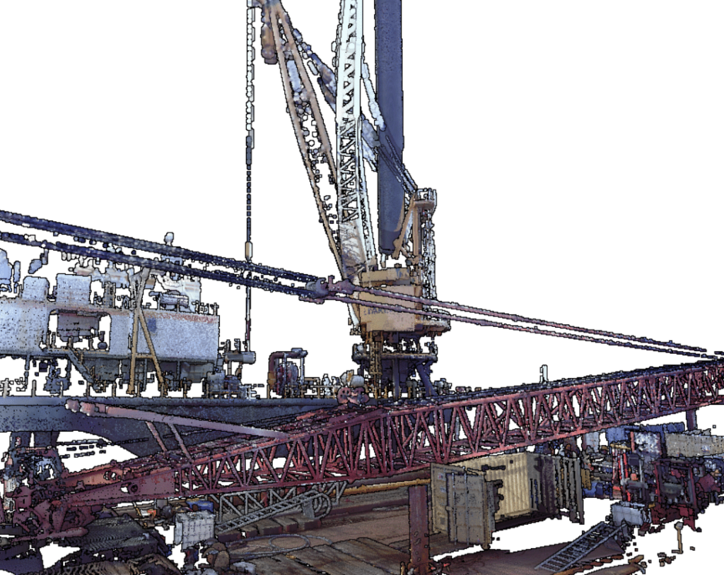
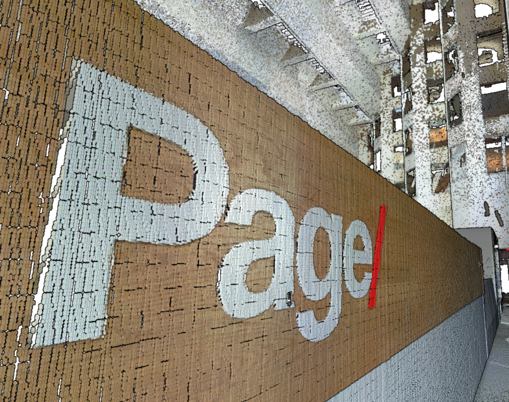
We utilize survey-grade 3D Laser Scanning devices to measure buildings and facilities nationwide. To date, we have scanned and modelled more than 8 million square feet of buildings. You can rely on us to deliver precise as-built measurements in BIM and CAD directly to your desktop.
360° Cameras with GPS
Our industrial grade 360 cameras produce UHD panoramic imagery and videos that are georeferenced to help streamline GIS feature extraction. We map streets and corridors at travel speed without disrupting traffic and apply ML and Ai to locate above ground assets such as street signs, trees, traffic signals, etc.
Mobile LiDAR
Our Angular HD Mobile Mapping System (MMS) can be deployed on projects nationwide and can start collecting pointcloud measurements within minutes. More than 100 miles can be mapped in a single day per system. We then use ML and Ai to detect surfaces and generate accurate digital models of corridors in CAD.
Contact us
We're here to answer any questions you may have.