
Insights & Latest Developments
Gain insights into BIM and 3D Mapping- Practical information narrated by our experts.
Featured Article
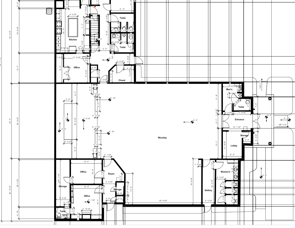
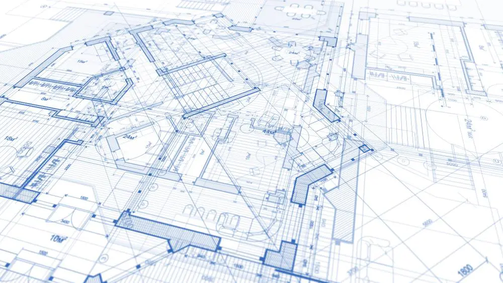
Accurate Floorplan Measurements
Accurate floorplan measurements are the foundation upon which successful projects and property transactions are built. In this article, we’ll explore the significance of precise measurements and […]
More Articles
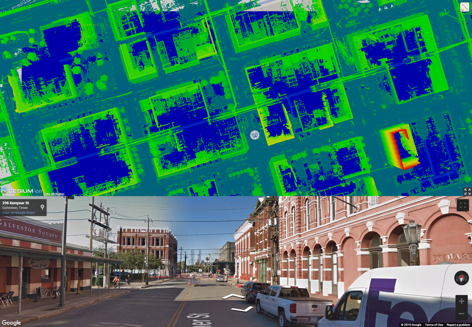
Urban development is an ever-evolving process, GIS is essential to planning and management of cities. Street Mapping helps locate.
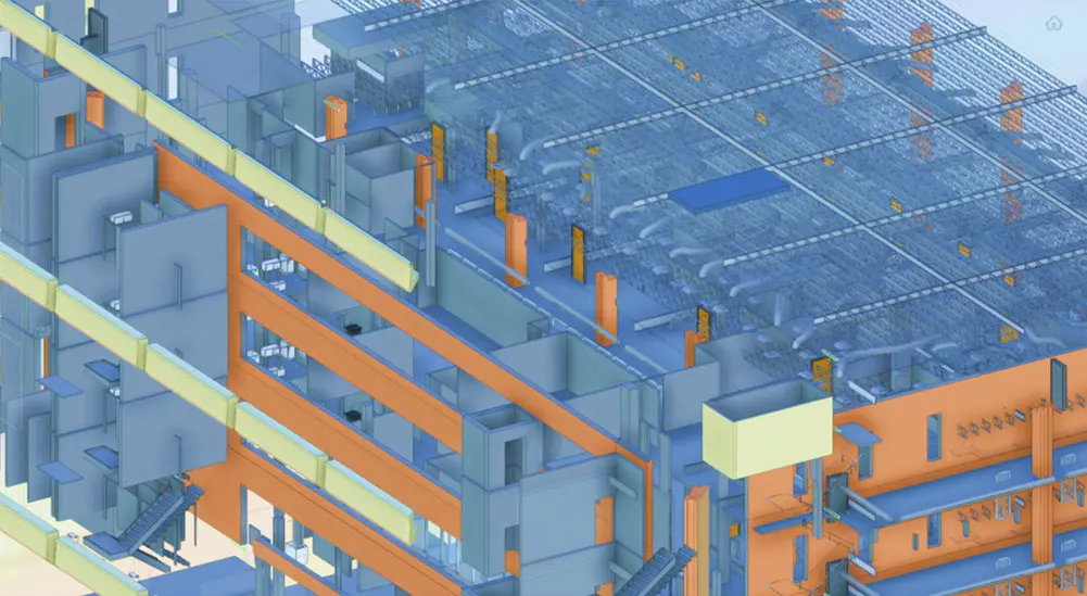
BIM, short for Building Information Modeling, is a comprehensive digital representation of a building’s physical and functional characteristics. Unlike traditional 2D blueprints and drawings, BIM integrates […]
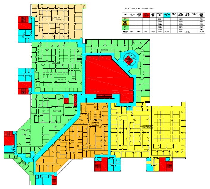
Why Accurate Measurements Matter Before we delve into the specifics of BOMA measurements, let’s understand why having accurate measurements of rentable square footage is of paramount […]
In the ever-evolving world of construction and design, precision and accuracy are paramount. As-Built Surveys service plays a pivotal role in ensuring that construction projects meet […]

In the world of construction and real estate, accuracy is paramount. Whether you are planning renovations, expansions, or simply want to understand the current state of […]
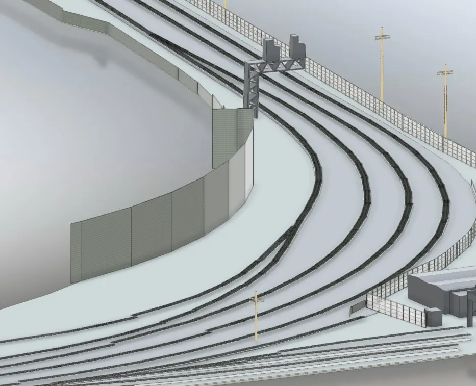
Rail as-built surveys have emerged as a game-changing solution, enabling railway industry professionals to streamline operations, enhance safety, and optimize maintenance. Precision and Accuracy: Rail […]